|
OFO Borneo deliver reliable aerial mapping, modeling, and inspection data — transforming how industries see and understand their world.
(SCROLL DOWN)
Intelligence
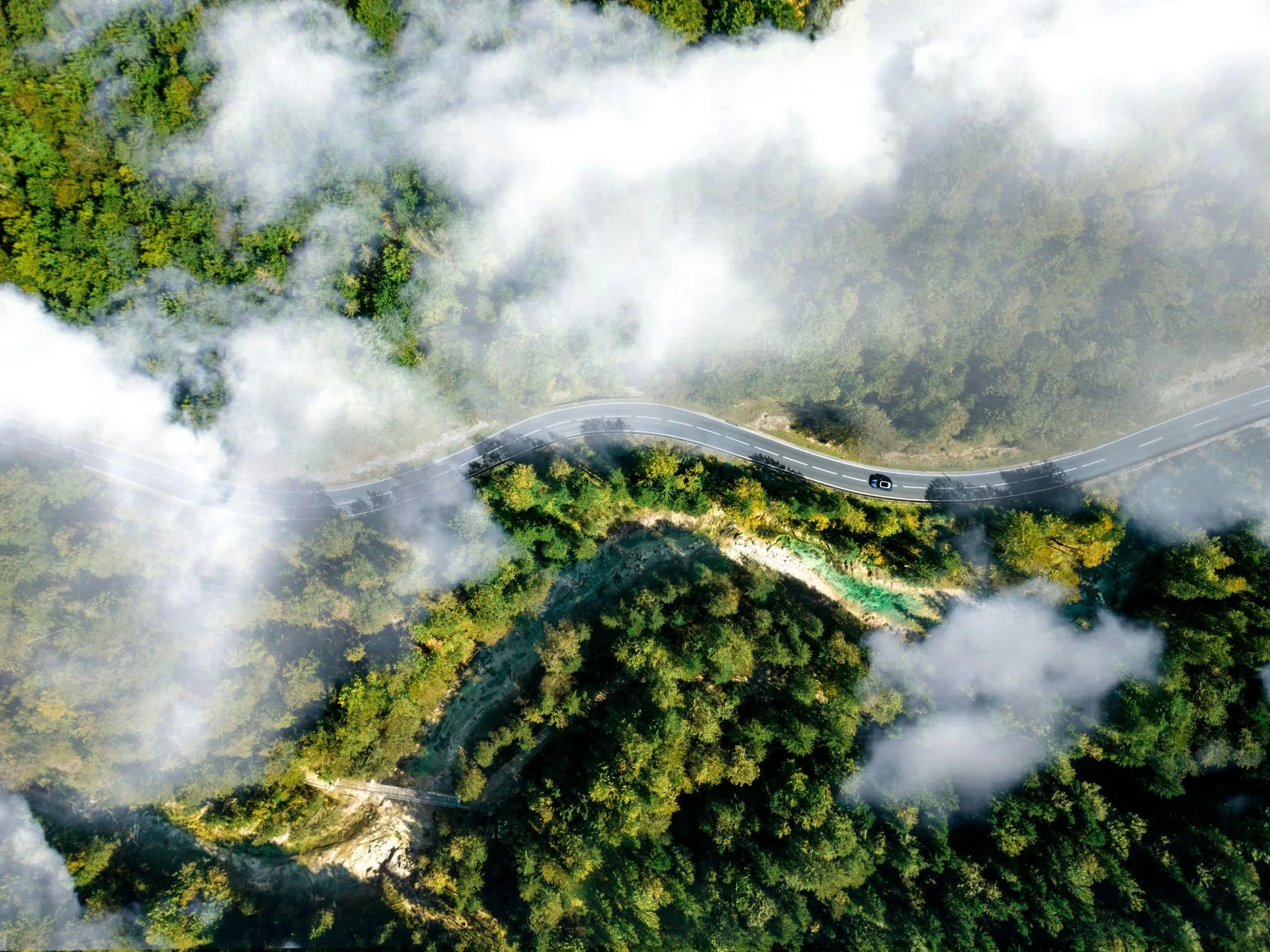
Aerial Perspectives

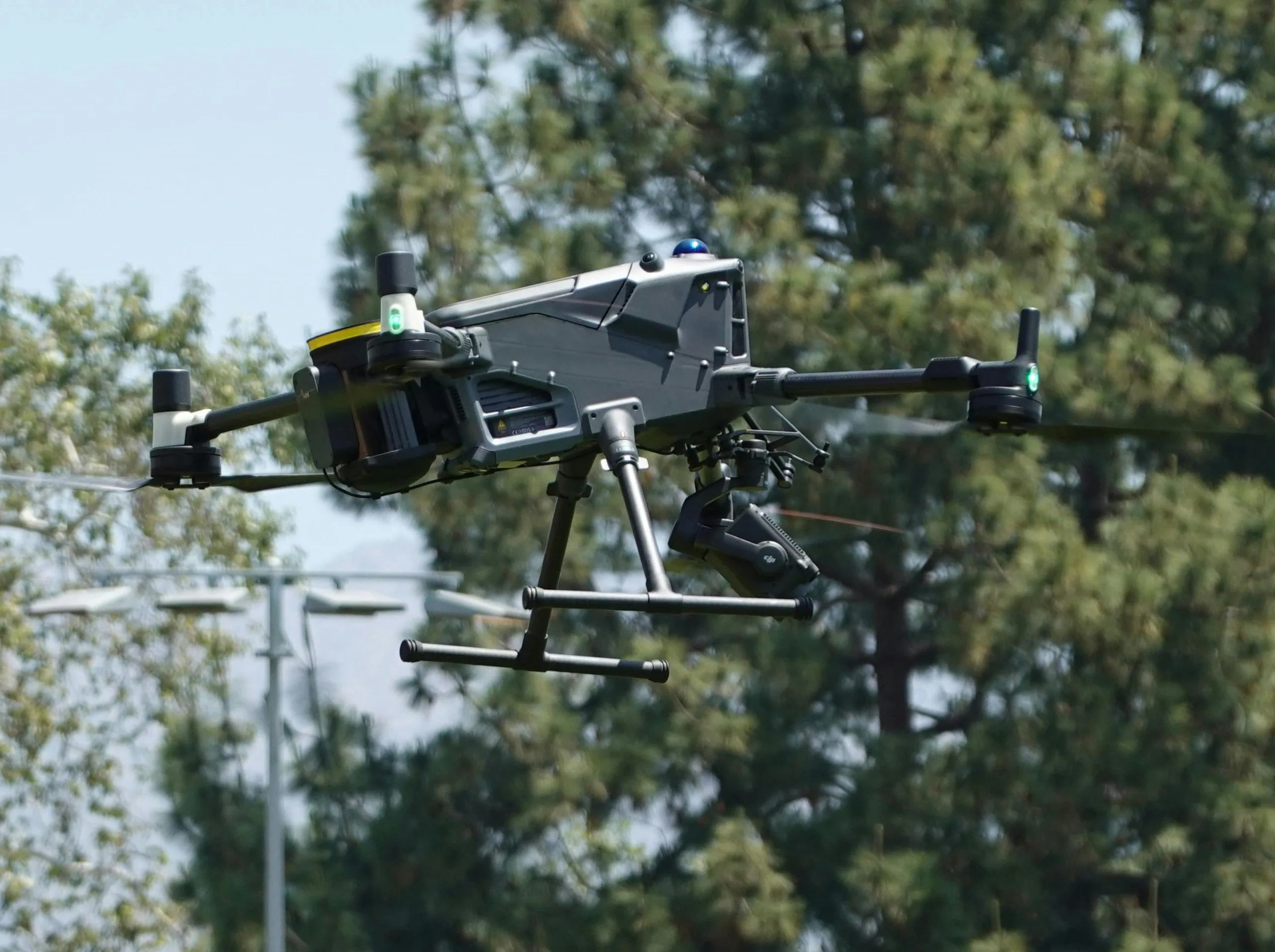
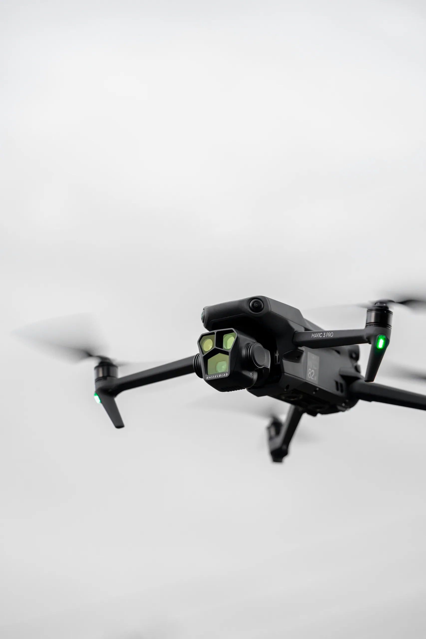
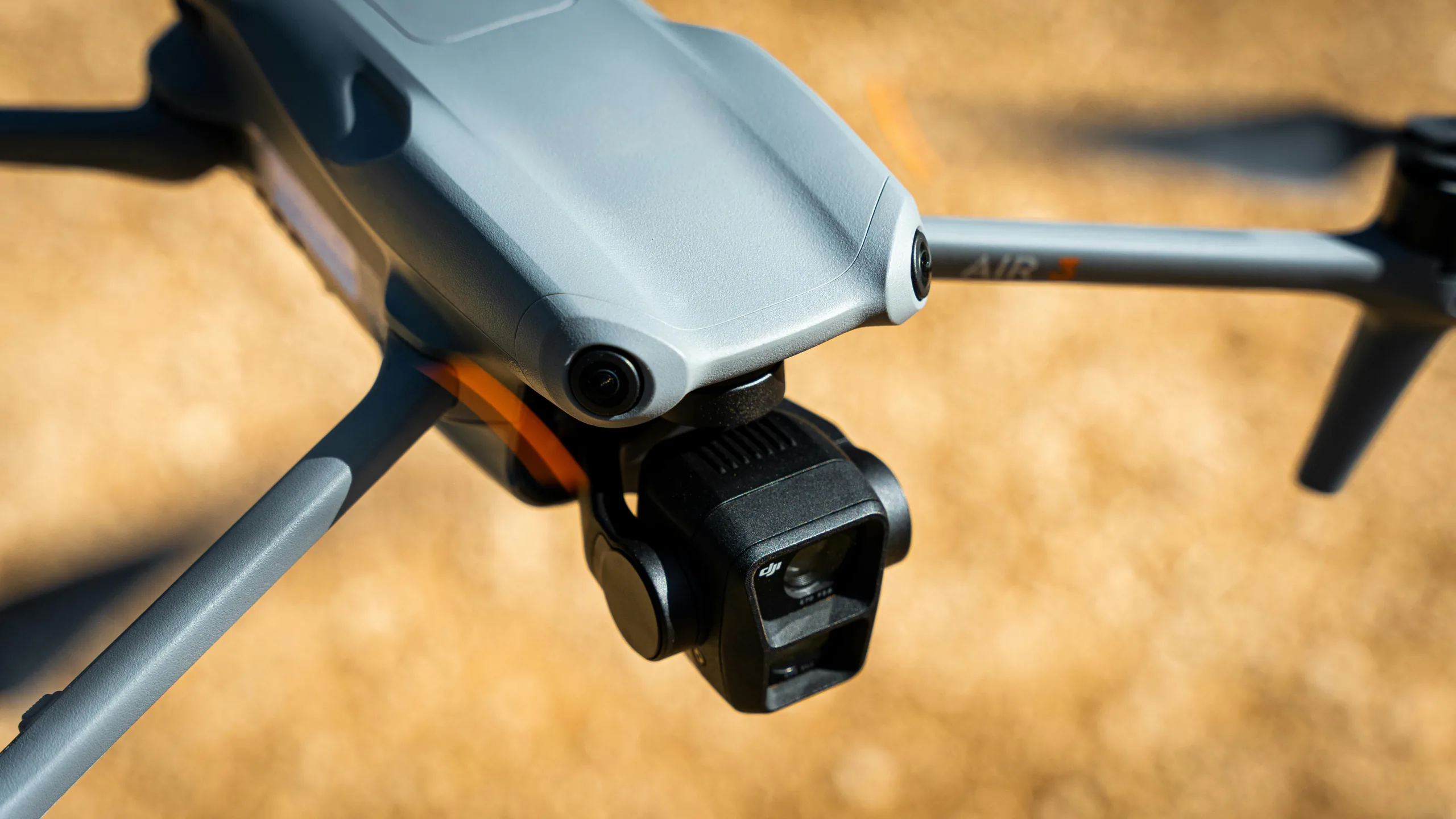
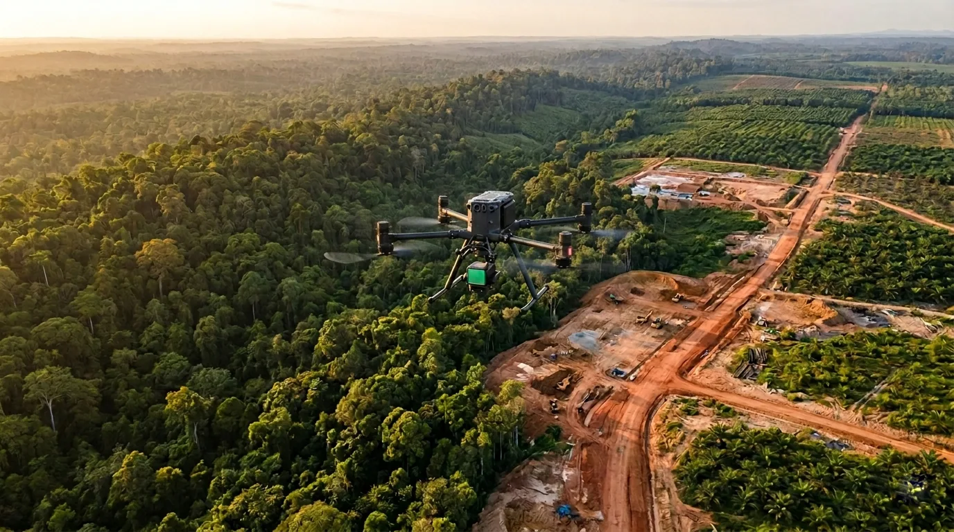
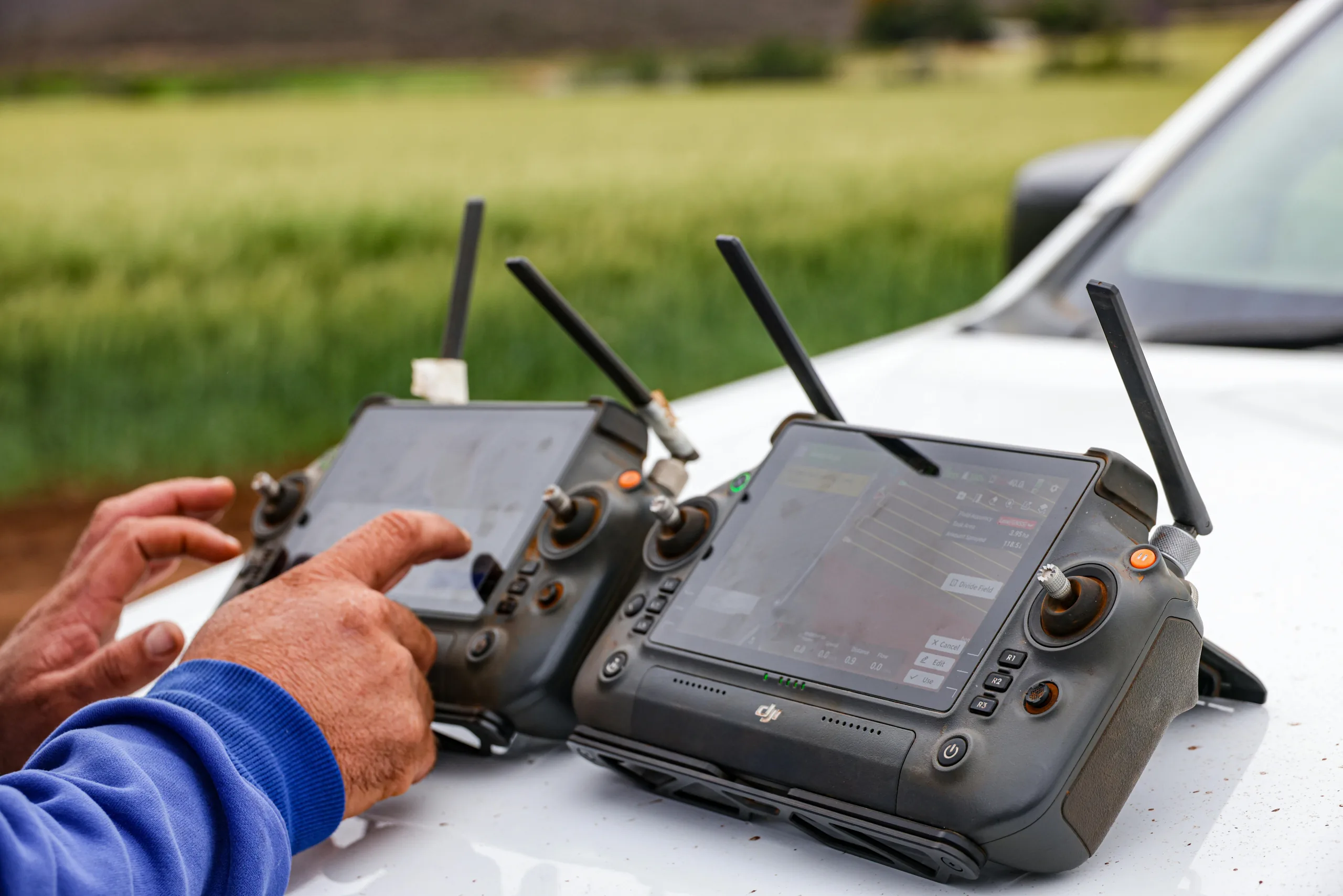
OFO Borneo is a drone service provider specializing in high-precision 2D mapping, 3D modeling, and aerial inspection.
Based in Malaysia, we combine technical expertise with certified drone operations to produce clear, actionable data for construction, oil & gas, and infrastructure clients.
Every flight we undertake is guided by accuracy, safety, and insight — helping our clients plan, build, and maintain with confidence.
OUR
EXPERTISE
We provide complete drone solutions for industries that depend on accuracy, visibility, and data integrity
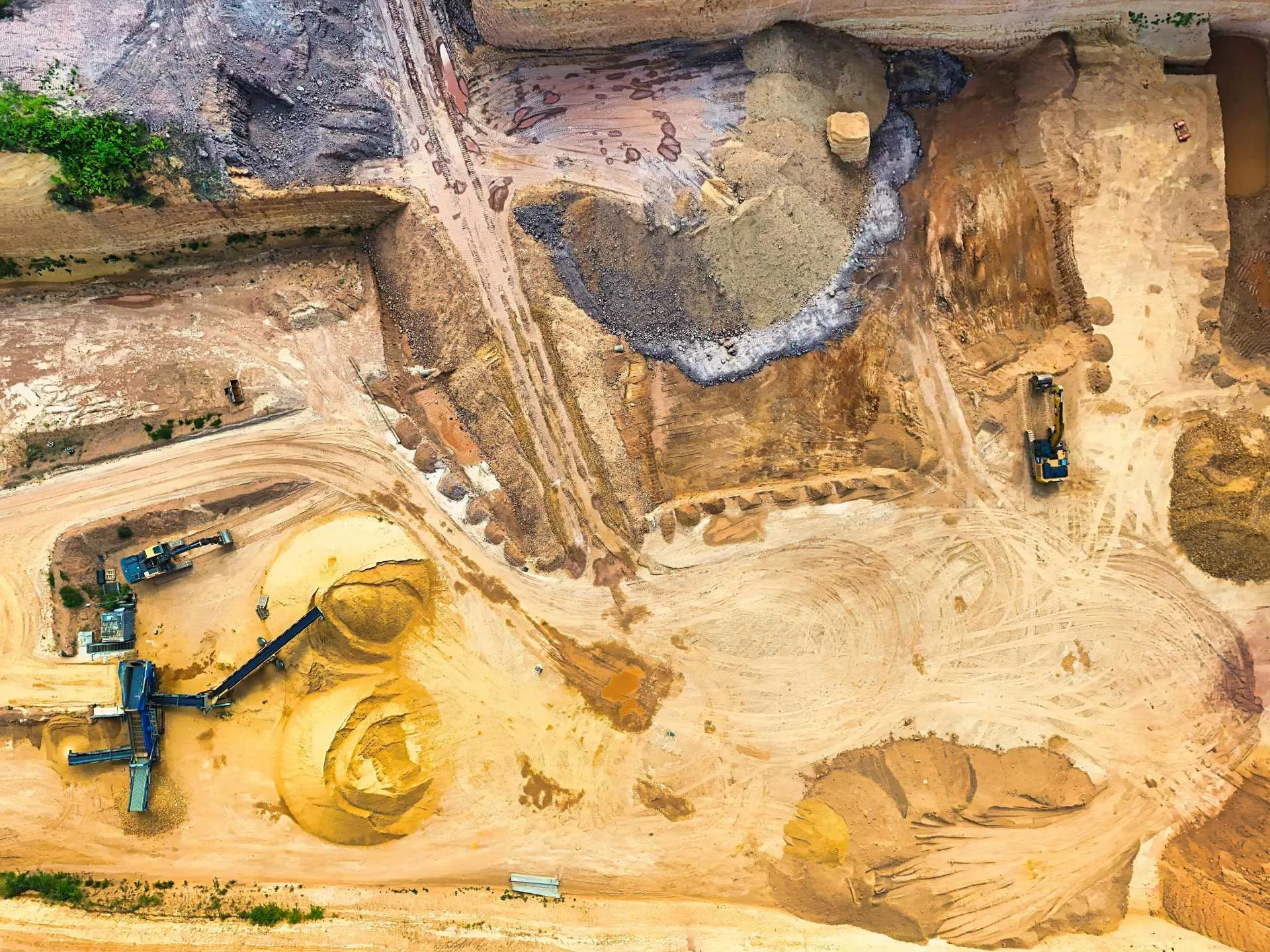
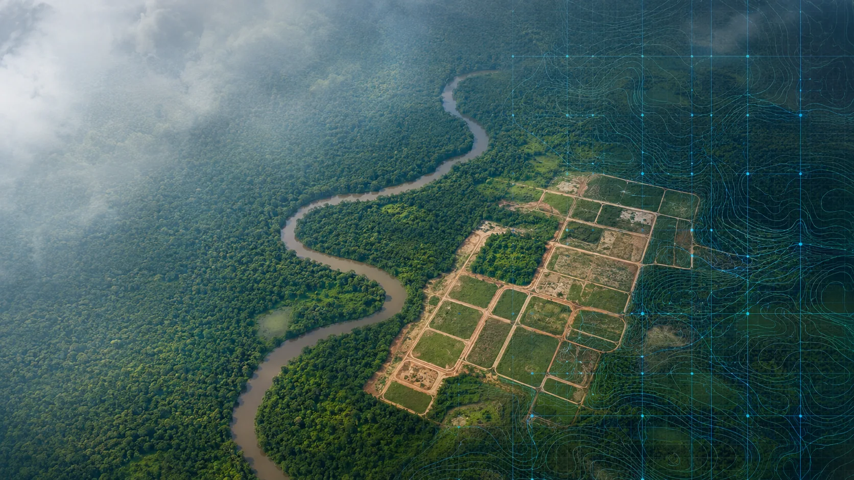
2D Mapping & Surveying
[High-resolution orthomosaics, contours, and volume analysis]
High-resolution orthomosaics, contours, and volume analysis for site planning and progress tracking. Our advanced drone technology captures precise aerial data that transforms into actionable insights for your projects.
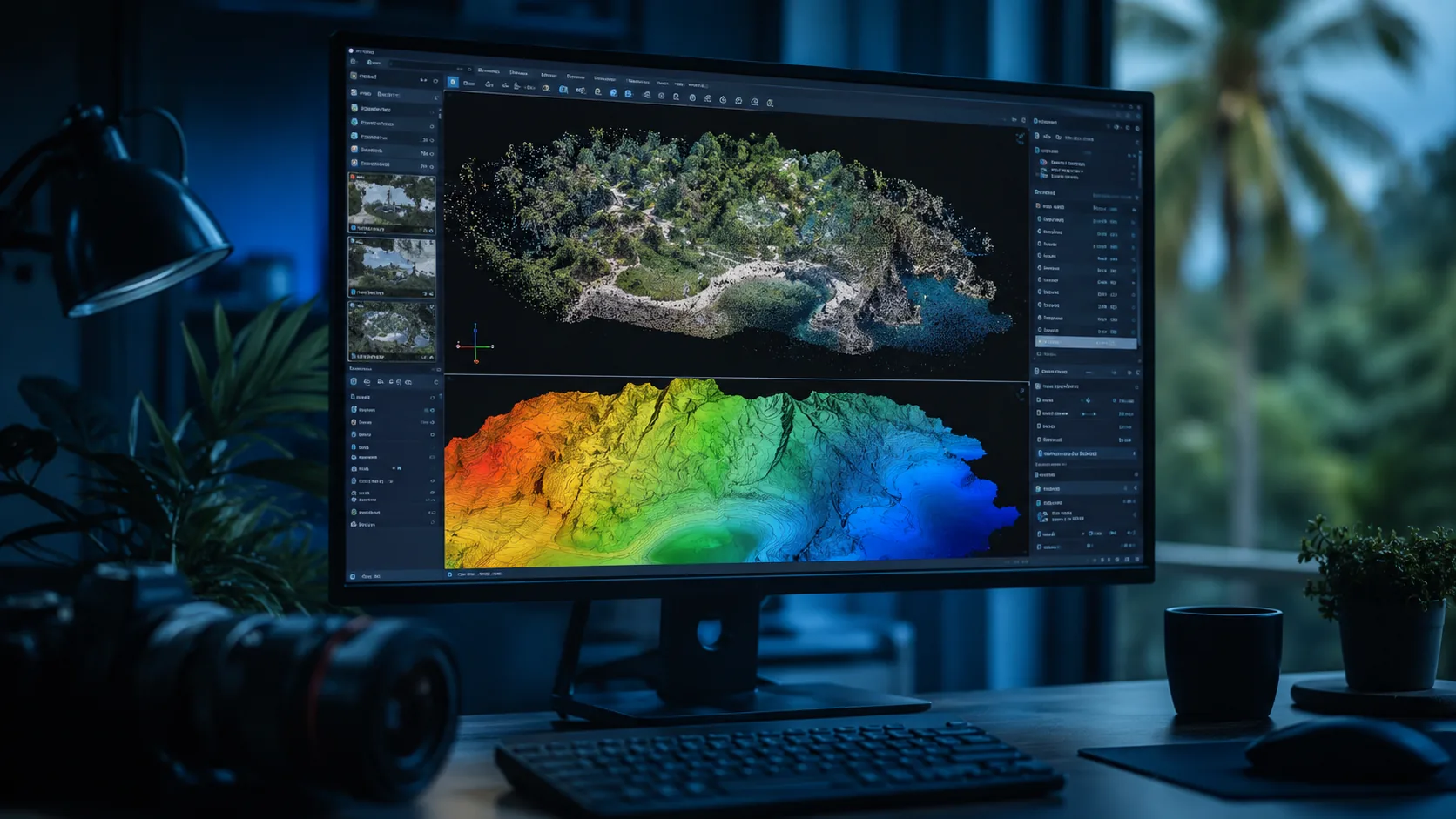
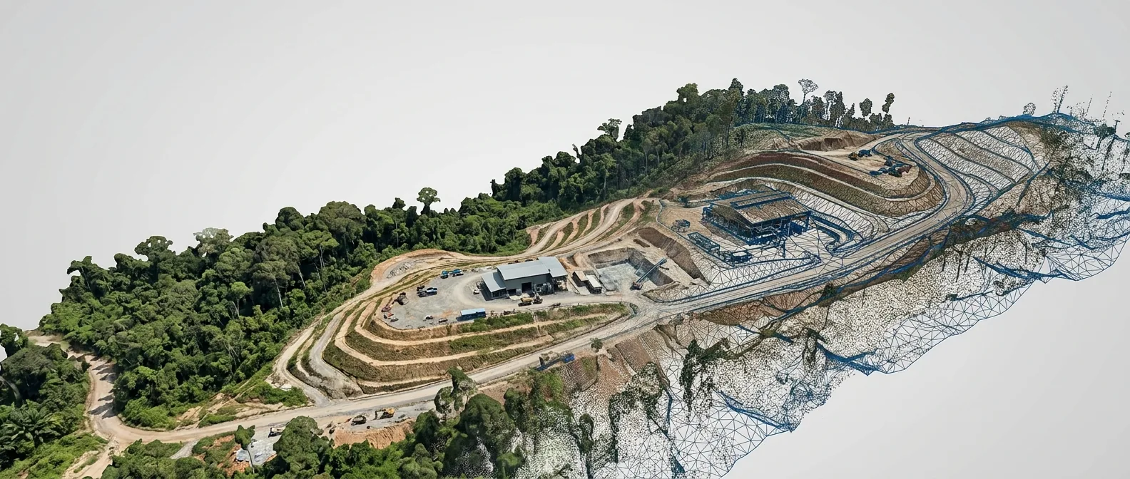
3D Modeling & Digital Twin
[Detailed 3D reconstructions for visualization and BIM integration]
Detailed 3D reconstructions for visualization, BIM integration, and asset management. We create digital replicas of your physical assets, enabling better planning, monitoring, and decision-making throughout the project lifecycle.
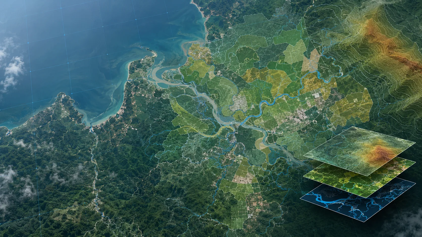
GIS & Data Analysis
[Spatial overlays and insights connecting aerial data]
Spatial overlays and insights that connect aerial data with project drawings and records. Our GIS expertise turns raw data into strategic intelligence for informed decision-making.
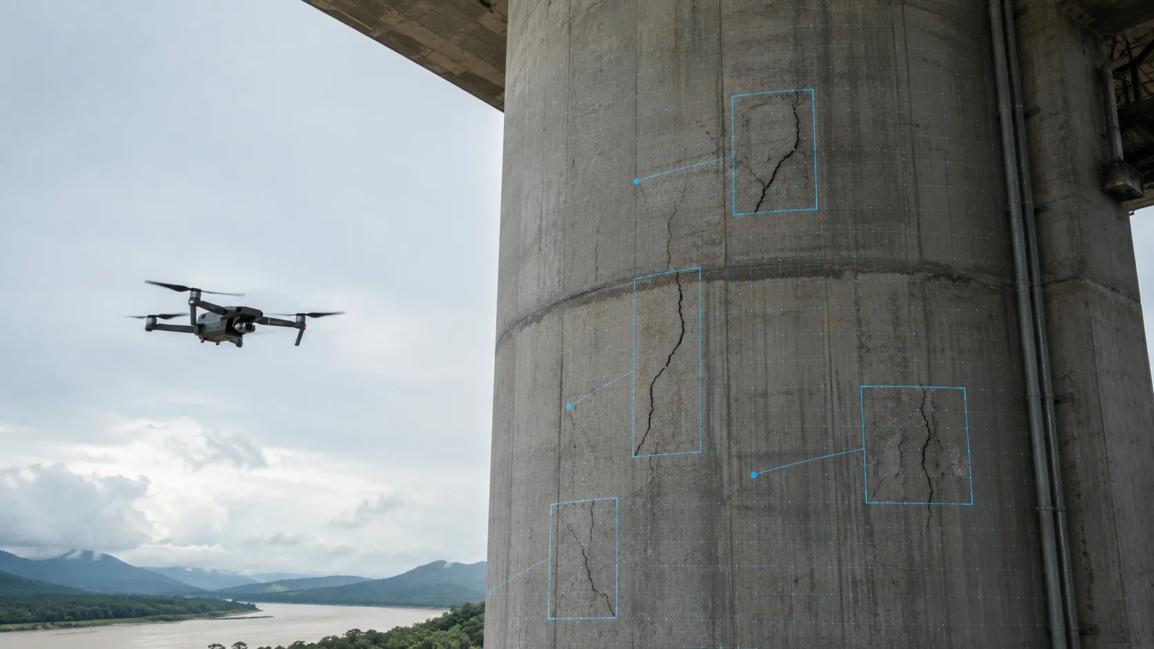
Structural Inspection
[Non-contact visual inspections for critical infrastructure]
Non-contact visual inspections for bridges, buildings, and critical infrastructure. Our drones access hard-to-reach areas safely, providing detailed imagery for maintenance and safety assessments.
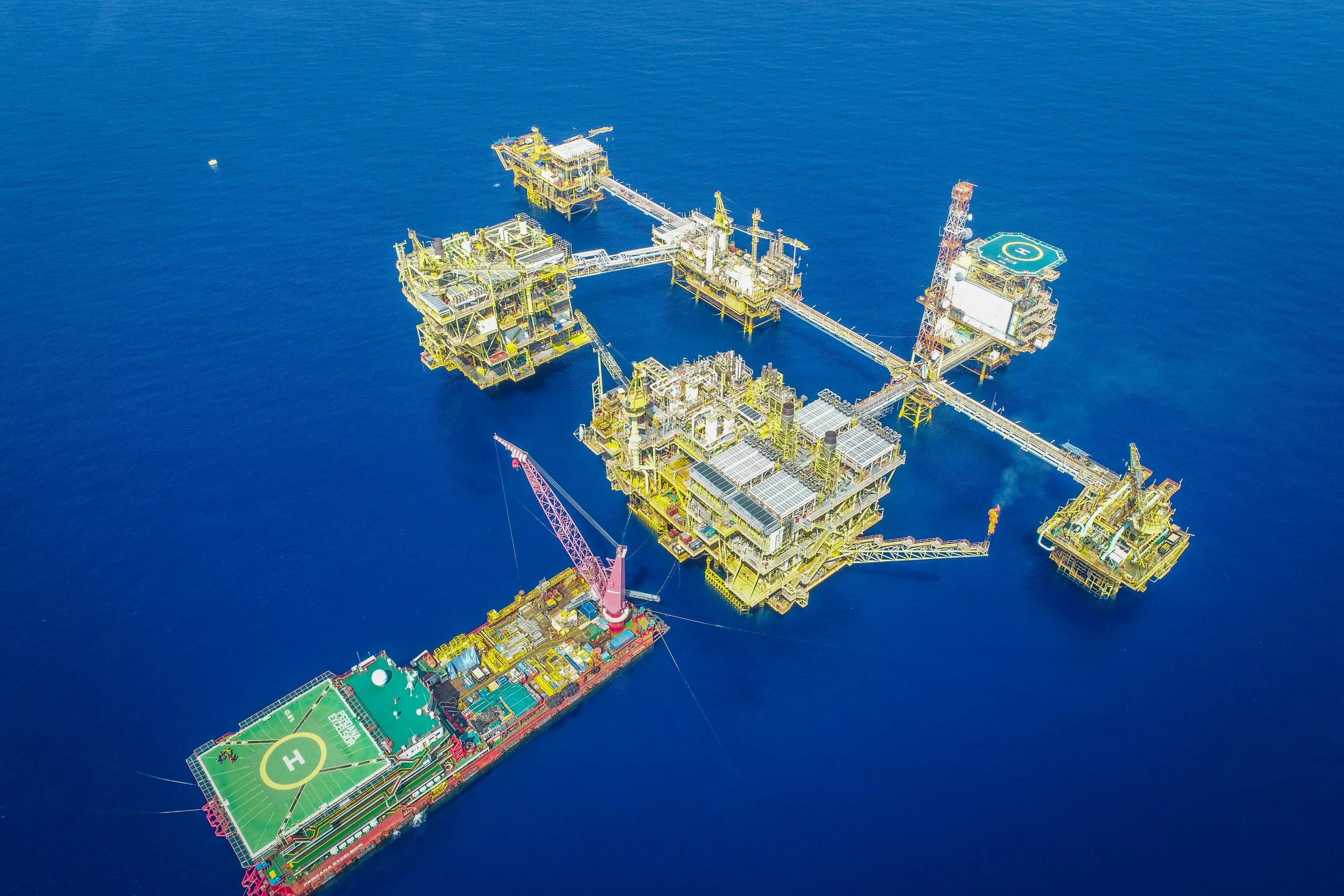
Oil & Gas Inspection
[Safe, efficient aerial monitoring of facilities]
Safe, efficient aerial monitoring of facilities and assets — without downtime. We help oil and gas operations maintain safety standards while minimizing operational disruptions.
Custom Drone Solutions
[Tailored flights and specialized payloads]
Tailored flights, specialized payloads, and data delivery suited to your project requirements. We work closely with clients to develop bespoke solutions that address unique challenges.