2D Mapping
O1 SERVICES
(SCROLL DOWN)
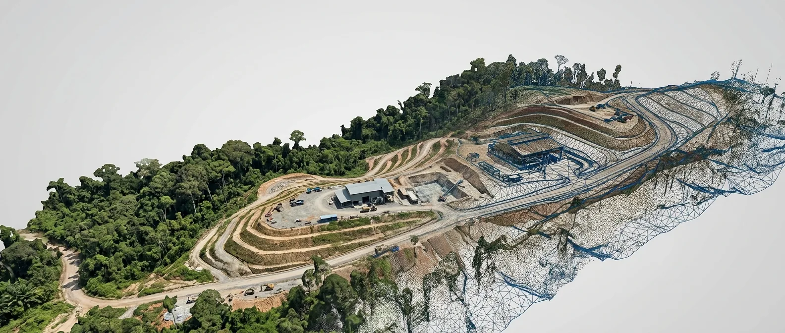
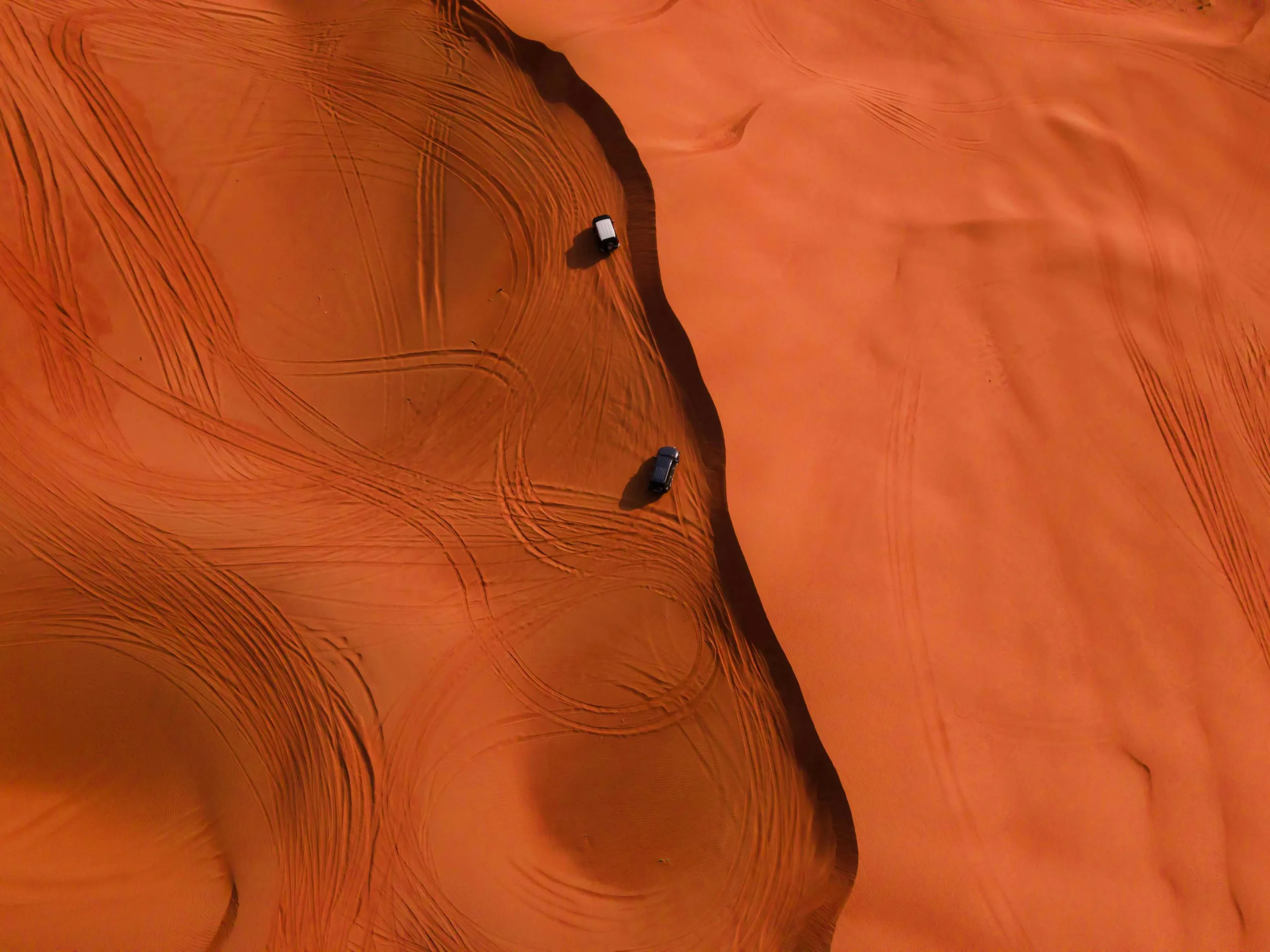
Our advanced 2D mapping solutions provide accurate, high-resolution aerial imagery and topographic data for various industries. Using state-of-the-art drone technology, we capture detailed orthomosaic maps that serve as essential tools for planning, monitoring, and decision-making.
From construction sites to agricultural land, our 2D mapping delivers precise geospatial data that helps you visualize your project area with exceptional clarity and accuracy.

ORTHOMOSAIC MAPPING
High-resolution aerial imagery stitched into georeferenced maps for accurate site visualization
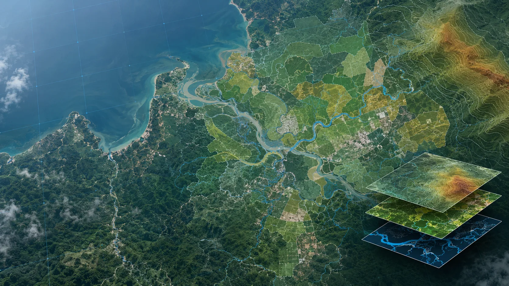
TOPOGRAPHIC SURVEYS
Detailed elevation data and contour mapping for engineering and construction projects

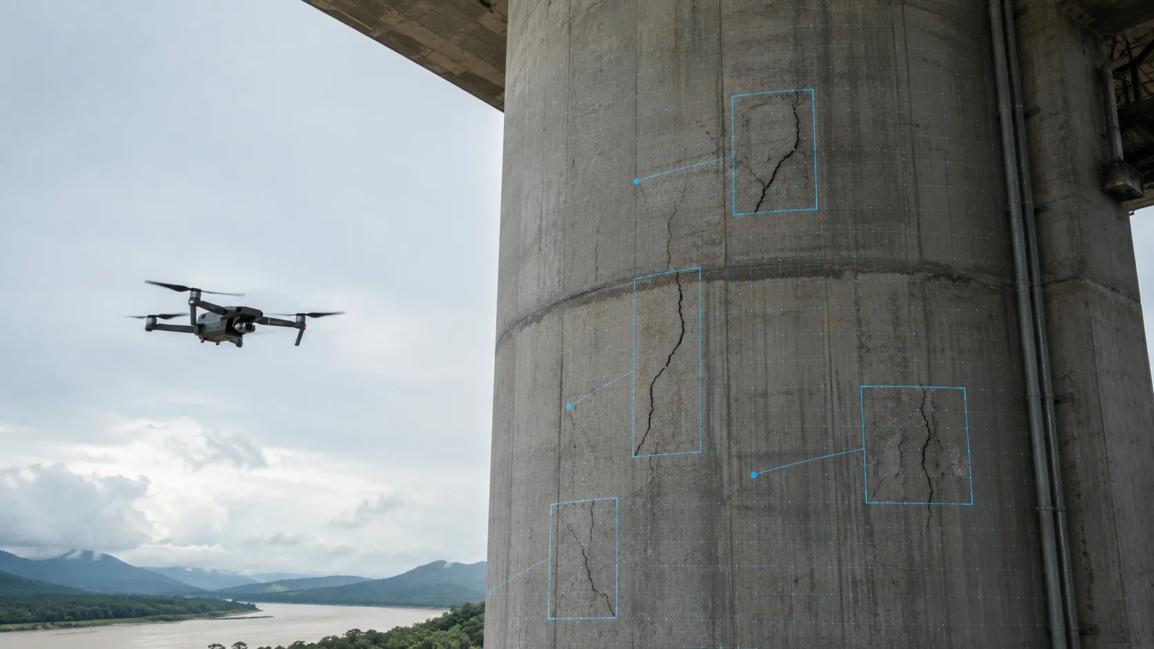
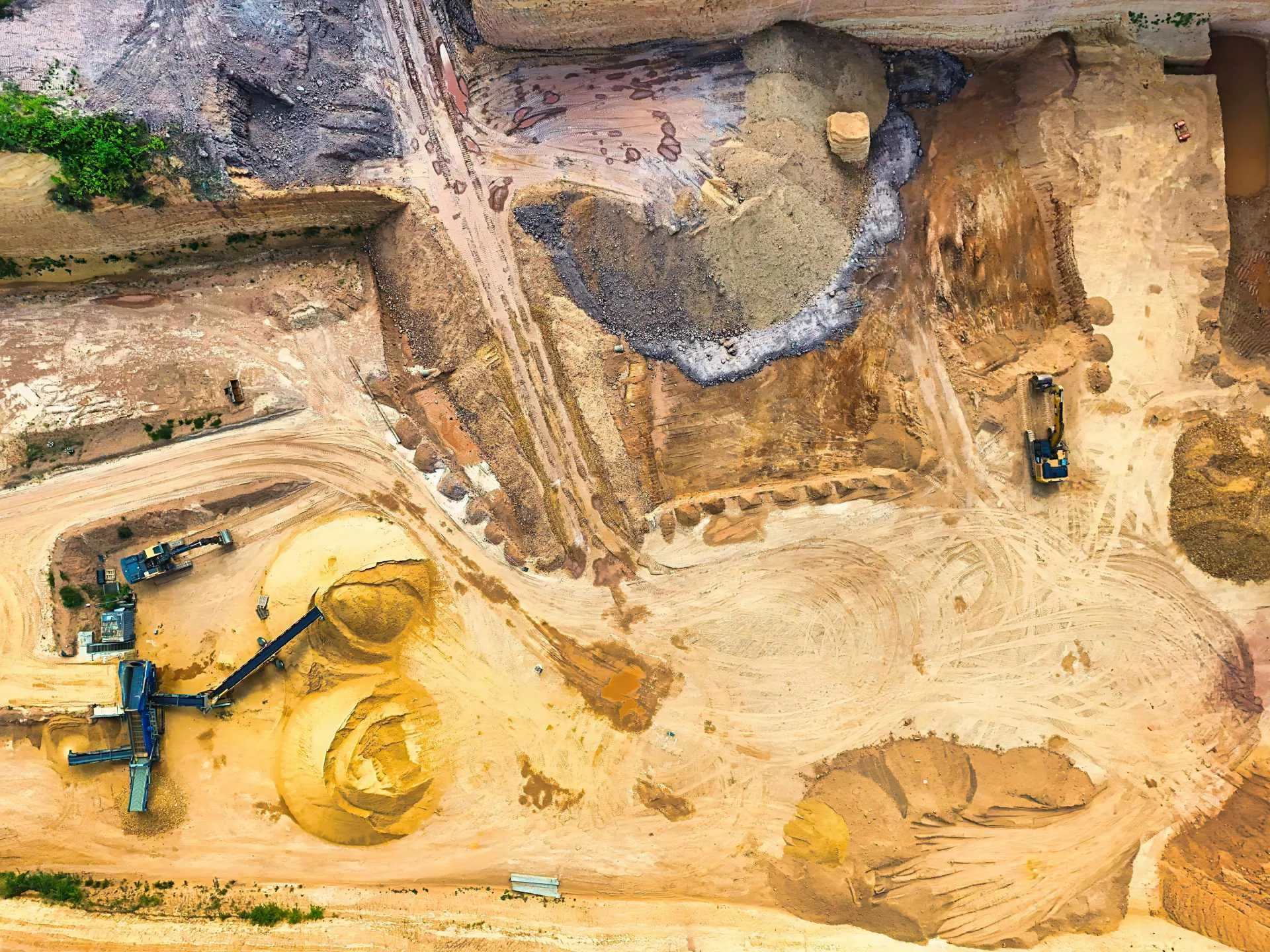
AERIAL SITE SURVEYS
Comprehensive site documentation with precise measurements and spatial data capture

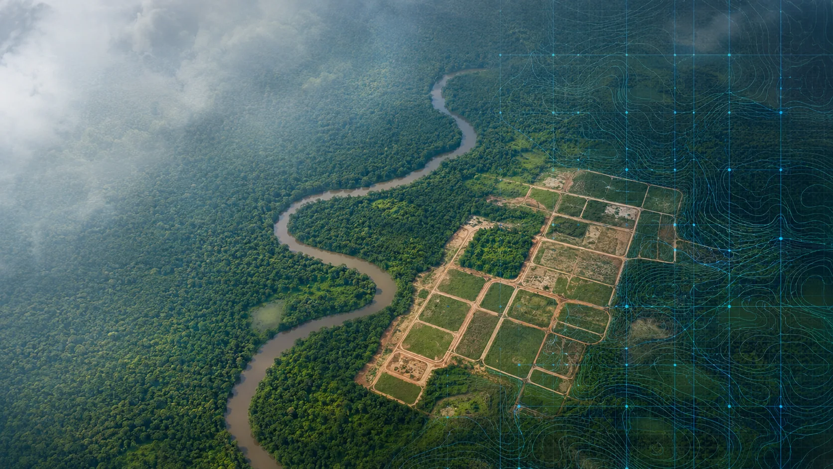
PRECISION MAPPING
Centimeter-level accuracy mapping for critical infrastructure and development planning
DATA PROCESSING
Advanced photogrammetry processing to deliver actionable geospatial intelligence
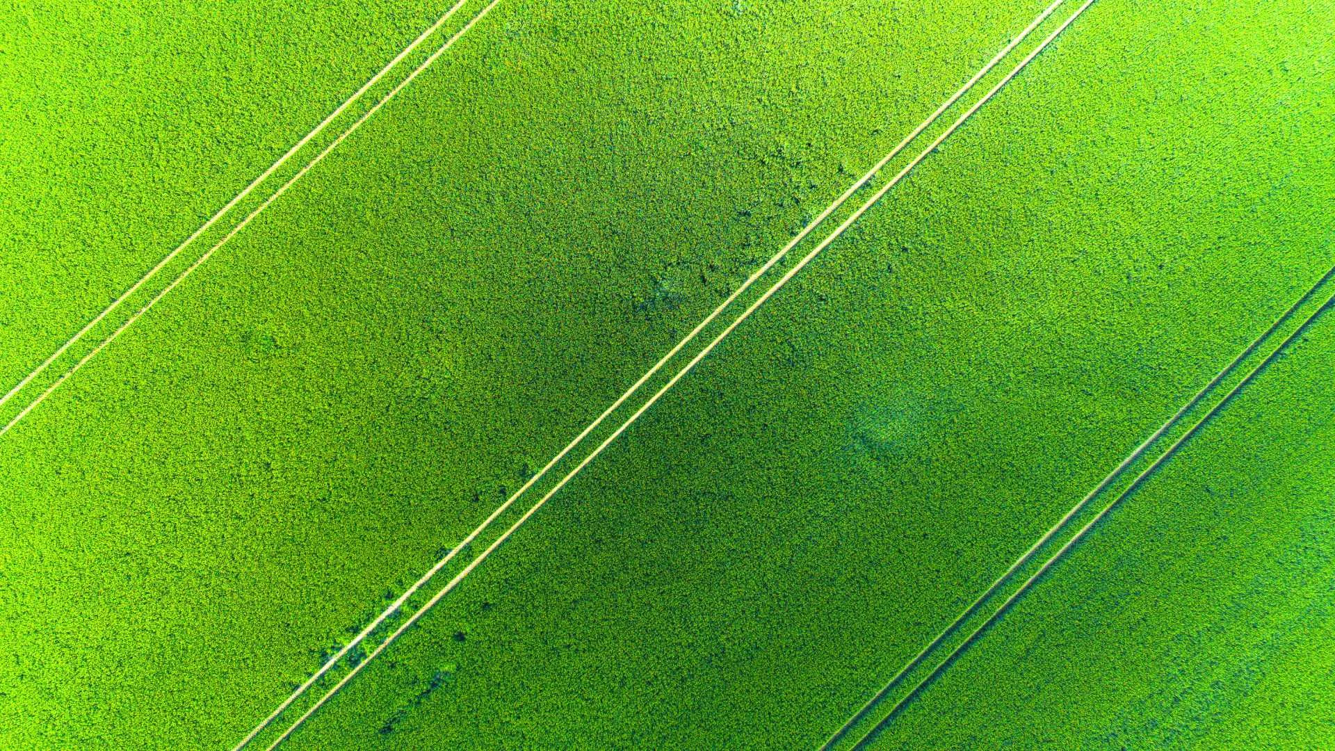
TERRAIN MAPPING
Digital elevation models and terrain analysis for land development and resource management

VOLUME CALCULATIONS
Accurate stockpile measurements and cut-fill analysis for mining and construction

PROGRESS MONITORING
Regular aerial surveys to track site changes and project advancement over time