(OUR PROCESS)
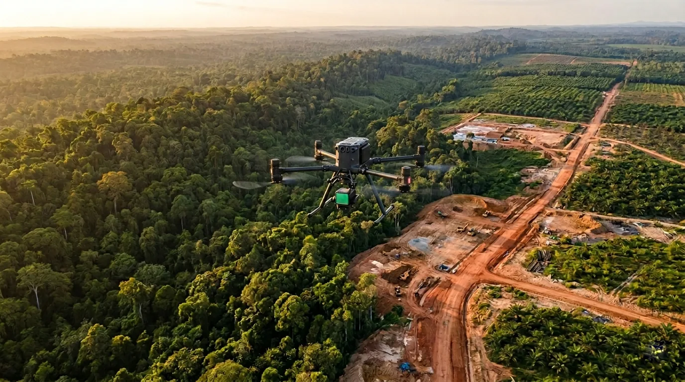
Exceptional aerial data isn't just about technology and expertise, but delivering valuable results.
(OUR APPROACH)
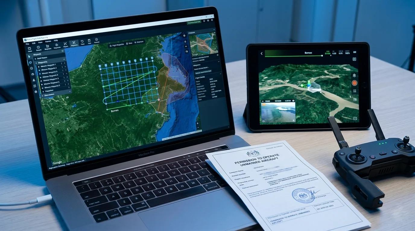
Excellence in aerial mapping and drone services begins with understanding your project's unique requirements. Our process starts with an initial consultation to discuss your site, objectives, and deliverable needs. We then prepare a detailed proposal outlining scope, timeline, and methodology. From there, we guide your project from flight planning through to final data delivery, ensuring accurate results that drive better decisions.


(WHAT YOU RECEIVE)
Every project ends with data you can act on — precise, structured, and ready to use.
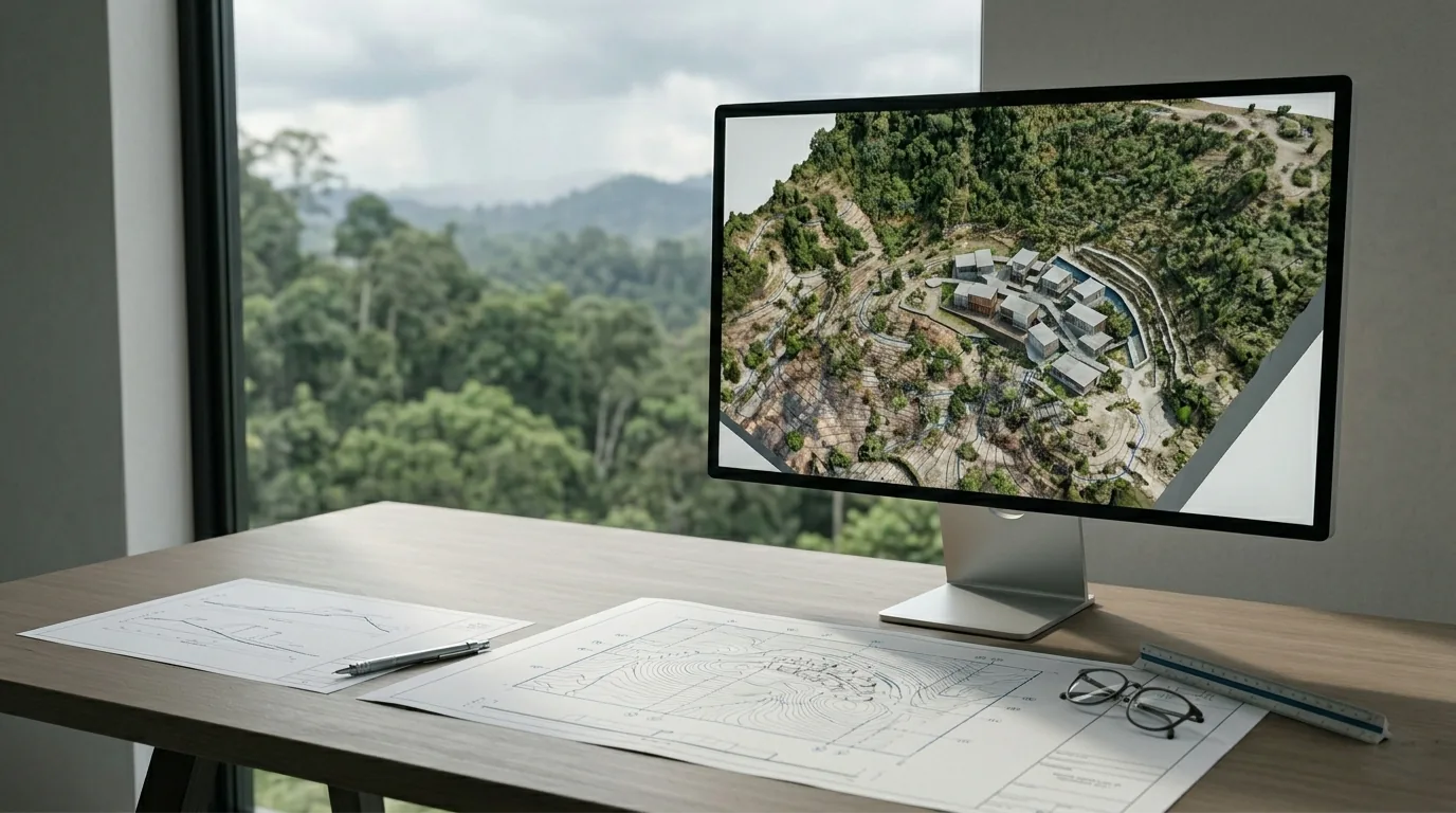
Orthomosaic Maps
Georeferenced, high-resolution 2D site maps stitched to survey-grade accuracy for measurement and planning.
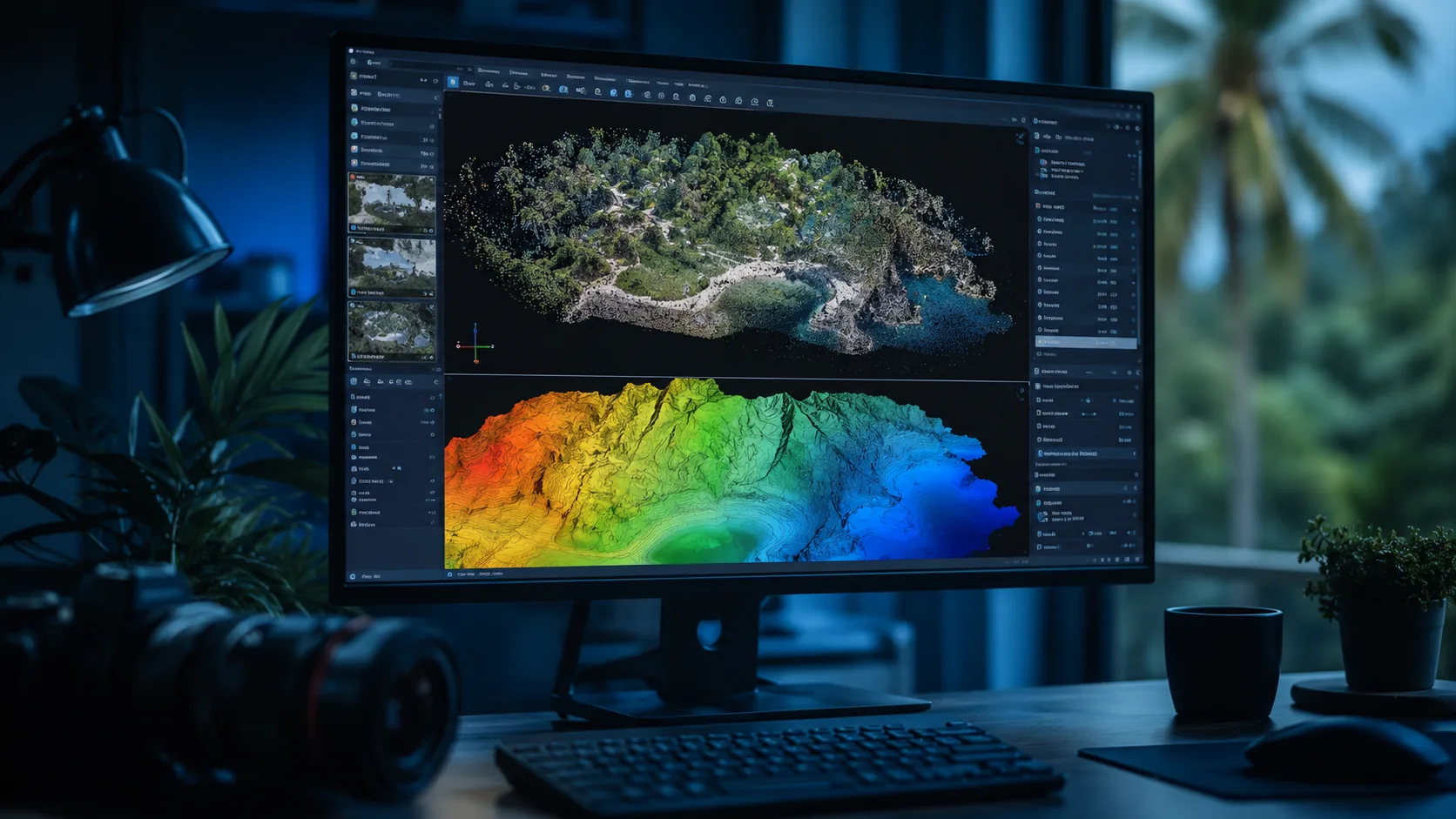
Digital Elevation Models
DTM and DSM terrain data for contour generation, slope, drainage, and cut-and-fill analysis.
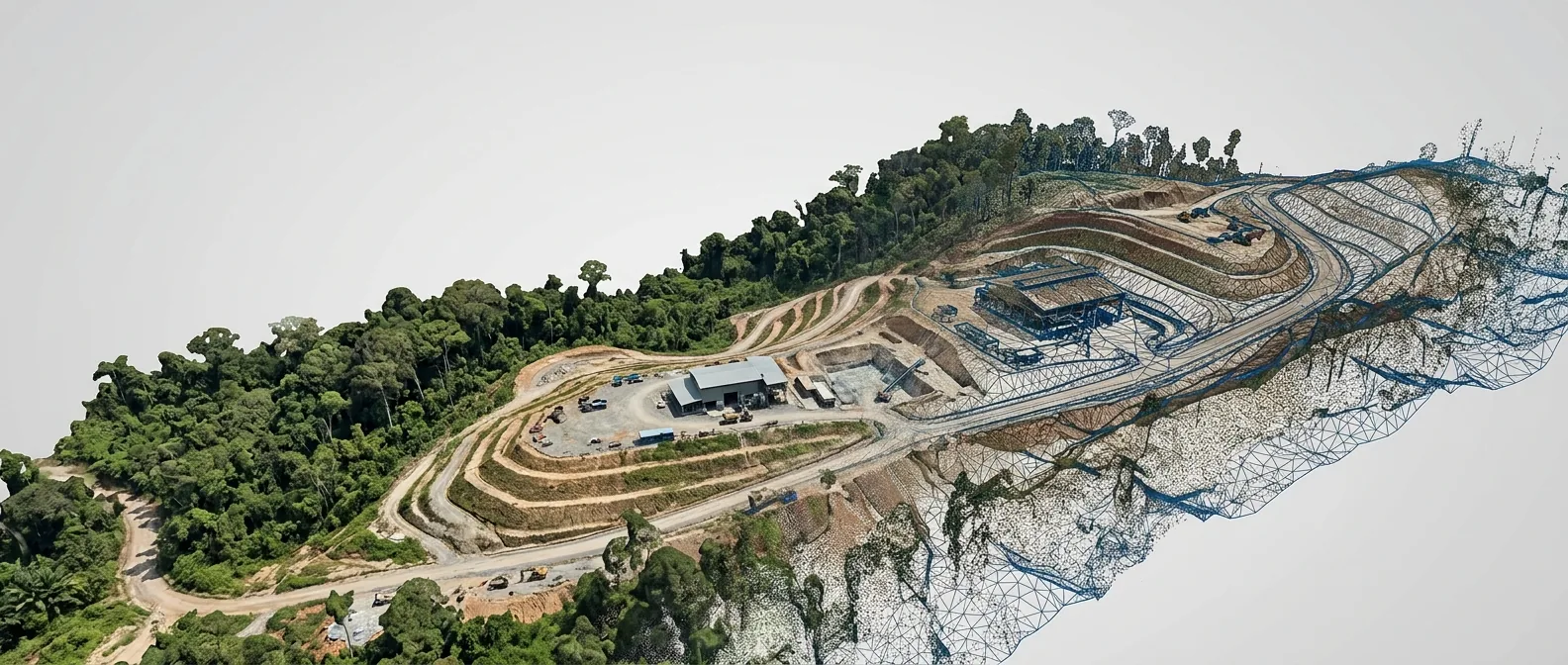
3D Models & Digital Twins
Textured meshes and dense point clouds for visualization, BIM integration, and asset management.
Topographic & CAD Maps
Contour lines and vectorized drawings delivered ready for engineering and design workflows.
Volumetric & GIS Analysis
Stockpile volumes and spatial overlays that connect aerial data to project drawings and records.
Inspection Reports
Annotated imagery and defect documentation for structures, facilities, and critical infrastructure.